

“City streets are the original social network”–Rachel Sterne
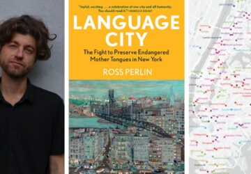
The BitCity Conference, which took place on November 9th at Columbia University, re-framed the relationship between transportation and technology. In practice and in ideology, both fields have tended to exist in different spheres but the conference encouraged a dialogue that explored the intersection of the two. The larger conversation looked to subvert the longstanding belief that transportation is a stagnant, predictable field overseen by engineers.
Janette Sadik-Kahn, the New York City Department of Transportation Commissioner, Di-Ann Eisnor, the Vice President of Platforms and Partnerships at Waze and Rachel Sterne, the Chief Digital Officer at New York City Media were among the many representatives in attendance who presented progressive ideas and projects involving transportation and technology in cities. Janette Sadik-Kahn highlighted the the New York City Department of Transportation efforts to make travel information more accessible to New Yorkers via 511 NY. Rachel Sterne, New York City’s first Chief Digital Officer, reviewed the utility of NYC Media. The free application helps users navigate through the City of New York via up-to-date streaming videos and an interactive map.
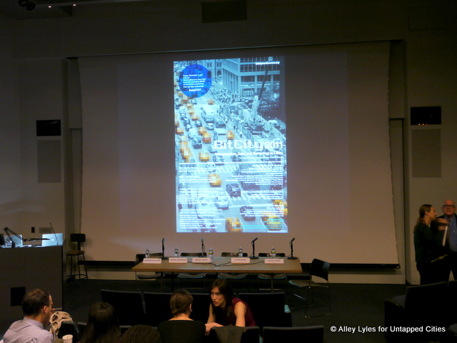
 (left to right) Candace Brakewood, Engineering Systems Division, MIT; Michael Fumin, MTA Bus Customer Information Systems; and, Di-Ann Eisnor, Vice President of Platforms and Partnerships, Waze
 Conference Attendees Including Untapped writer Jake Schabas
How do you get to where you want to go? It was not until a few years ago that transportation and social media technology (arguably) enabled people to get to their end destination more efficiently. New York City Department of Transportation maintains the most extensive online presence of any department of transportation in the United States via Facebook, Flickr, Tumblr, YouTube and Twitter. Waze, a phone application based on crowd-sourced traffic information, is now used on Los Angeles as a functional tool to compliment traffic reporting. Rachel Sterne believes that “city streets are the original social network”–people vote with their feet and shape the built environment based on their everyday transportation choices.
 (left to right) David King, Assistant Professor at Columbia University; Michael Batty, Director, Centre for Advanced Spatial Analysis at University College London; David Levinson, Director, NeXus: Networks, Economics and Urban Systems Research Group, University of Minnesota; and, Mitchell Moss, Director, Rudin Center for Transportation, New York University Wagner Graduate School of Public Service
The latter half of the conference focused on crowd sourcing travel data, and, whether private data can be used as a public good. There is an importance of examining how people use transportation. As of right now, scholars and practitioners are working on means to identify information sources which include monitoring where subway riders swipe in, analyzing cyclist behavior and examining a commuter’s route to and from work. Mitchell Ross, Director of the Rudin Center for Transportation at the New York University Wagner Graduate School of Public Service, conveyed the importance of information via cell phones, technology infrastructure and media becoming to the consumer. As information sponges, our driving has become more productive. Congestion traffic-which can be considered an annoyance for some-can be considered pleasant to a person utilizes the time to read an e-mail or respond to a text message.
Most importantly, the conference emphasized that the cross-section of transportation and technology–albeit not without flaws–democratizes information. The abundance of transportation-centered interactive websites, phone applications and social media disrupts the notion that information is a one-way street. The public is capable of generating information with just as much force. Di-Anne Eisnor put it best when she said, “Place can no longer be owned. But our patterns are ours uniquely.”
Click here to see a full listing of the event speakers and view video of the conference panels. Also be sure to check out the exhibit, Here’s Now! on display at Columbia University GSAPP (Avery Hall), where the Spatial Information Lab mapped out FourSquare and Facebook check-ins not only by location but by psychology, including the ever popular “apocalpyse” check-ins.